Why Route 66 feels confusing at first
The first time I drove Route 66, I expected a road. That sounds obvious, but it is the mistake almost everyone makes. You imagine a clean line on a map, a highway sign pointing west, a ribbon of asphalt that carries you from Chicago to Santa Monica without too much argument. Route 66 is not that kind of road now. It is a memory stitched into modern America. It appears, disappears, returns as a frontage road, turns into a main street, hides under the interstate, then suddenly gives you a perfect old gas station, a faded mural, a neon motel sign or a two-lane stretch where the whole country seems to slow down.
What first-timers need to understand
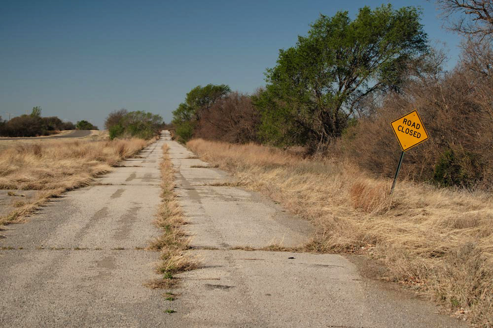
The most important thing to understand is that Route 66 was decommissioned as a federal highway in 1985. The road did not vanish, but the official, continuous highway system did. What remains is a historic corridor made of old alignments, bypassed sections, state-marked roads, business loops, town streets, preserved bridges, museums, diners, motels, ruins and living communities. If you drive only by the fastest navigation setting, you will miss the soul of it. The interstate may get you across America, but Route 66 asks you to notice America.
The right mindset
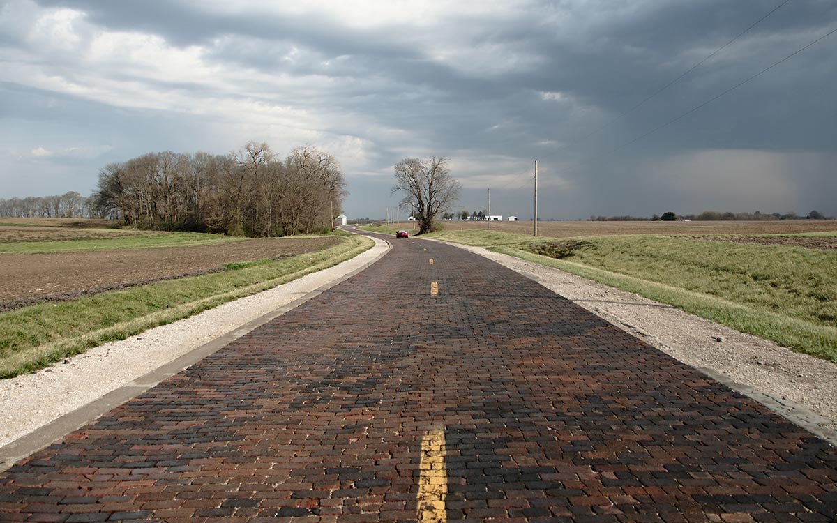
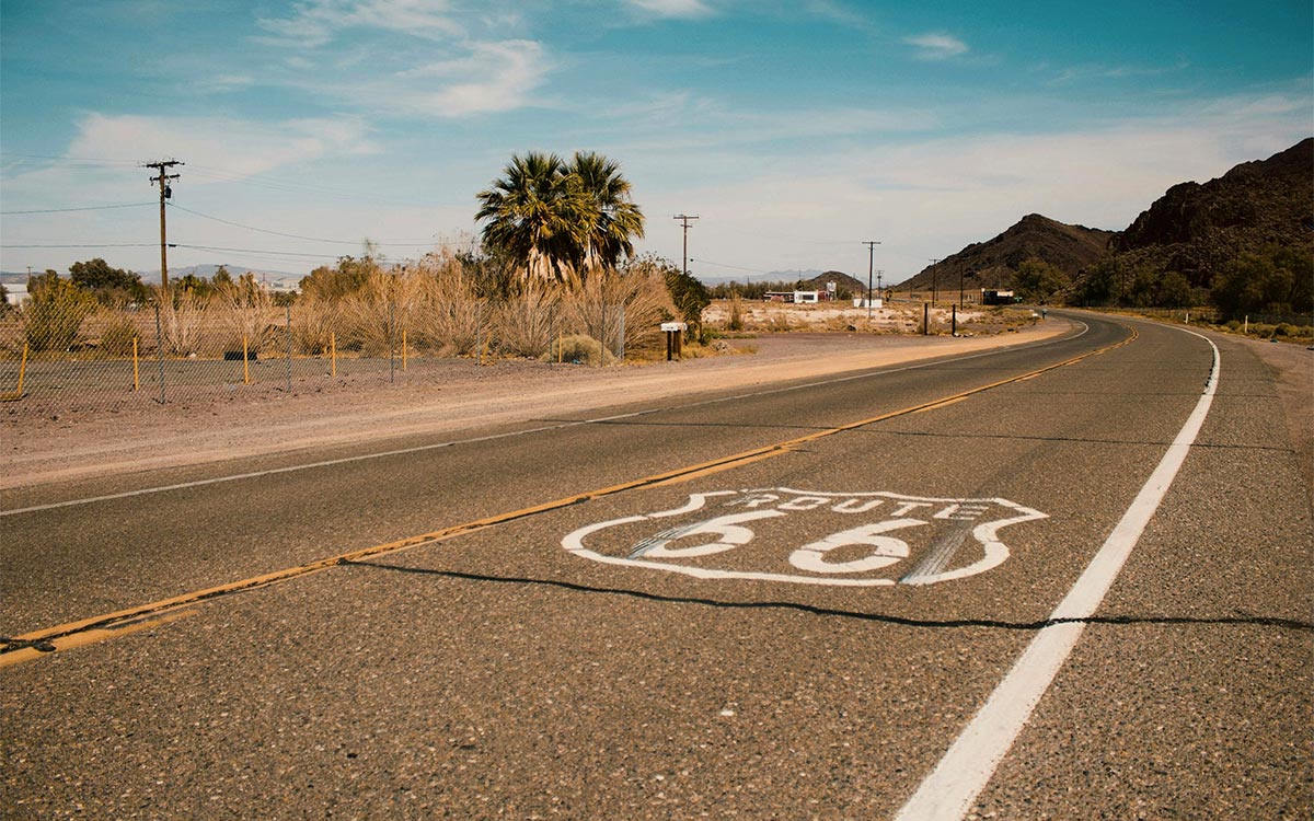
A good first Route 66 trip is not about ticking off every attraction as quickly as possible. It is about accepting that the journey is layered. In Illinois, the road feels like small-town history and brick streets. In Missouri, it becomes hills, rivers, caves and old motor courts. Kansas gives you only a tiny mileage, but it gives you character. Oklahoma is the long middle chapter, full of museums, diners, roadside giants and tribal, oil, rail and road history. Texas is wide, windy and dry, with a sense of humour. New Mexico gives you neon, pueblos, old plazas and desert light. Arizona brings canyons, petrified forests, high desert and old railroad towns. California gives you the Mojave, mountain passes, suburbia and finally the Pacific.
Planning without killing the magic
Plan enough to avoid frustration, but not so much that you flatten the trip. Book key accommodation during busy periods, especially around major centennial events, classic motels or small towns with limited rooms. Keep a list of must-see stops, but also leave blank space for the unexpected. The best Route 66 days often begin with a plan and end with a conversation you did not schedule: a motel owner telling you how the town changed, a museum volunteer pointing you to an old alignment, or a diner waitress explaining which neon sign still gets switched on at dusk.
Navigation
Use a dedicated Route 66 map, guidebook or app, plus a normal navigation app for practical driving. The dedicated tool helps you find the historic route; the normal app helps you recover when you need fuel, food or a faster road. Do not be embarrassed to miss a turn. Everyone does. Route 66 is a road of realignments, not perfection. The trick is to make the detours part of the story rather than treating them as failure.
What to look for
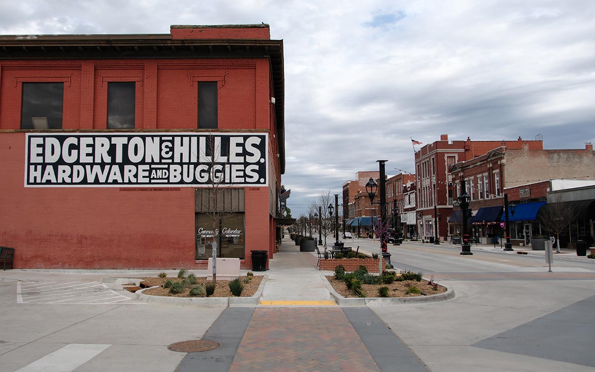
Do not only look for the famous icons. Look for old road cuts, motel signs, abandoned service stations, painted water towers, oddball statues, angled parking, ghost signs on brick walls, court-style motels, small museums, hand-painted menus, 1950s rooflines and the way towns position themselves around the road. These details teach you more than a checklist ever will.
First-timer advice
Start with a simple promise: you are not driving Route 66 to be efficient. You are driving it to pay attention. Give yourself permission to stop too often, photograph small things, read historical markers, buy a coffee where the locals are, and ask questions. The road rewards curiosity more than speed.
History to know before the first mile
Route 66 was born in the 1920s, when the United States was trying to turn a patchwork of local roads into a numbered highway system. The road was commissioned in 1926, originally linking Chicago with Los Angeles through eight states. Its official western terminus was extended to Santa Monica in 1936. That matters for first-timers because Route 66 was never simply a tourist route. It was a working road, built to connect towns, farms, cities, service stations, courts, garages and families who needed a reliable way west.
One detail worth knowing before you reach California is that the famous “End of the Trail” sign on Santa Monica Pier is a symbolic finish rather than the historic highway terminus itself. Route 66 was extended from Los Angeles to Santa Monica in 1936, with its official western endpoint at the intersection of Lincoln and Olympic Boulevards. The Pier has since become the place most travellers choose to celebrate the end of the journey, which is why both locations belong to the modern Route 66 story.
A useful date to keep in your head is 1938, when the highway is often described as becoming fully paved from end to end. Before that, early travellers dealt with mud, gravel, rough surfaces and uncertain conditions. When you see an old alignment today, it is worth remembering that every smooth mile was once a major engineering and political achievement, not a nostalgic photo prop.
The other date is 1985. That was the year U.S. Highway 66 was officially decommissioned as a federal highway after the interstate system had taken over much of its long-distance function. The road did not disappear, but its legal identity changed. That is why you can drive it today only by following historic alignments, business loops, frontage roads, city streets and preserved fragments.
Fun facts for first-timers
Springfield, Missouri calls itself the Birthplace of Route 66 because the number 66 was chosen there by telegram on April 30, 1926, before the federal approval later that year. The route's most famous nickname, the Mother Road, comes from John Steinbeck's 1939 novel The Grapes of Wrath. The upbeat song that made the highway sound like a rolling invitation, Get Your Kicks on Route 66, was written by Bobby Troup in 1946 and helped shift the road's popular image from hardship to pleasure.
Take it with you in Route 66 Logbook
Use Route 66 Logbook to follow the historic road, explore stops along the way and keep a record of what you actually discovered. At the end of each day, save the best stop, the strangest stop and the place you nearly missed. After a week, your logbook will show the shape of your trip rather than somebody else’s checklist.
Why the contrasts matter
The part first-timers underestimate is how much emotional contrast sits inside one day. You might begin with a polished visitor centre, stop at a restored gas station, eat lunch under fluorescent diner lights, then end the day beside a dark motel sign that clearly once meant everything to a town. That contrast is the road. Do not try to make it neater.
Learn the alignments as you go
I would also encourage first-timers to learn the names of alignments as they go. The 1926 path, later bypasses, business loops and optional spurs are not academic details. They explain why one guide sends you through a town while another keeps you closer to the interstate. Once you understand that the road evolved, the confusion becomes part of the fascination.
Do not rush the finish
Finally, do not let the famous end point at Santa Monica make the earlier days feel like a countdown. The Pacific is a beautiful finish, but the road's meaning builds in small increments: the first old pump, the first hand-painted sign, the first time a local tells you which bit of pavement is original, the first sunset when you realise you are not just crossing distance anymore.